Large-scale precision mapping for complete 3D alignment.
The SMARTTECH3D Photogrammetry Module expands scanning capability to large objects and assemblies.
By combining high-resolution photographs with precision markers, it creates accurate 3D coordinate maps that align seamlessly with SMARTTECH3D scanners, providing multi-scale accuracy across entire structures.
Capture accurate reference data for objects and assemblies up to 20 meters in size.
Full Integration with SMARTTECH3D Scanners
Combine photogrammetry maps with high-resolution scans in a single coordinate system for complete coverage.
Lightweight & Portable
Weighing only 5 kg, the system is field-ready and easy to deploy anywhere.
Robust & Reliable
Performs consistently in bright light, on dark or reflective surfaces, and under varying temperatures or vibration conditions.
Built for Real-World Measurement
The Photogrammetry Module creates precise marker maps using digital photographs taken from multiple perspectives.
Once processed in SMARTTECH3Dmeasure, these maps align seamlessly with structured-light scan data, delivering a unified dataset for full-scale quality control and assembly verification.
It’s the essential companion for scanning large or complex structures where accuracy and scale must work together.
Applications
Large-Object Quality Control
Inspect aircraft components, vehicles, or steel structures with consistent coordinate mapping.
Assembly & Alignment
Ensure precision fitment across large parts or sections.
Industrial Construction & Shipbuilding
Verify dimensions of fabricated modules before installation.
Heritage & Architecture
Document buildings or monuments with large-scale accuracy.
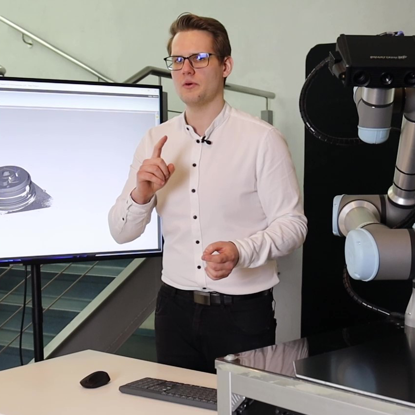
SMARTTECH3D measure Software
Integrated Photogrammetry Workflow
Process images, calculate marker maps, merge point clouds, and generate deviation reports within one software environment.
The same interface used for structured-light scanning controls photogrammetry, ensuring data consistency across projects.
Proof & Compatibility
Certified accuracy to VDI/VDE 2634 standards
Fully compatible with all SMARTTECH3D structured-light scanners
Trusted for aerospace, automotive, and cultural applications